
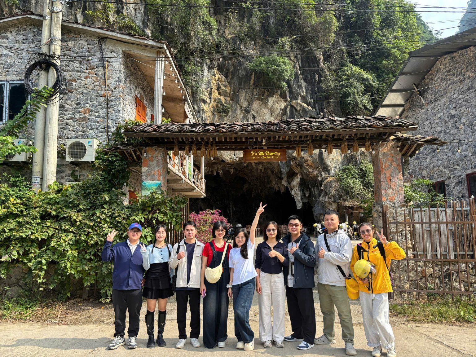

BOSS Travel Office
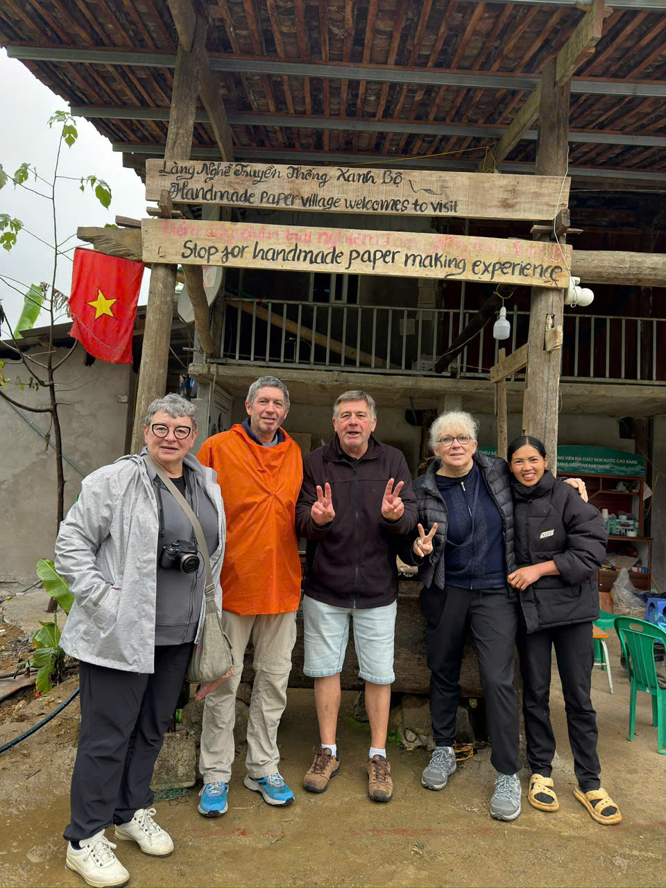
Dia Tren Paper Village
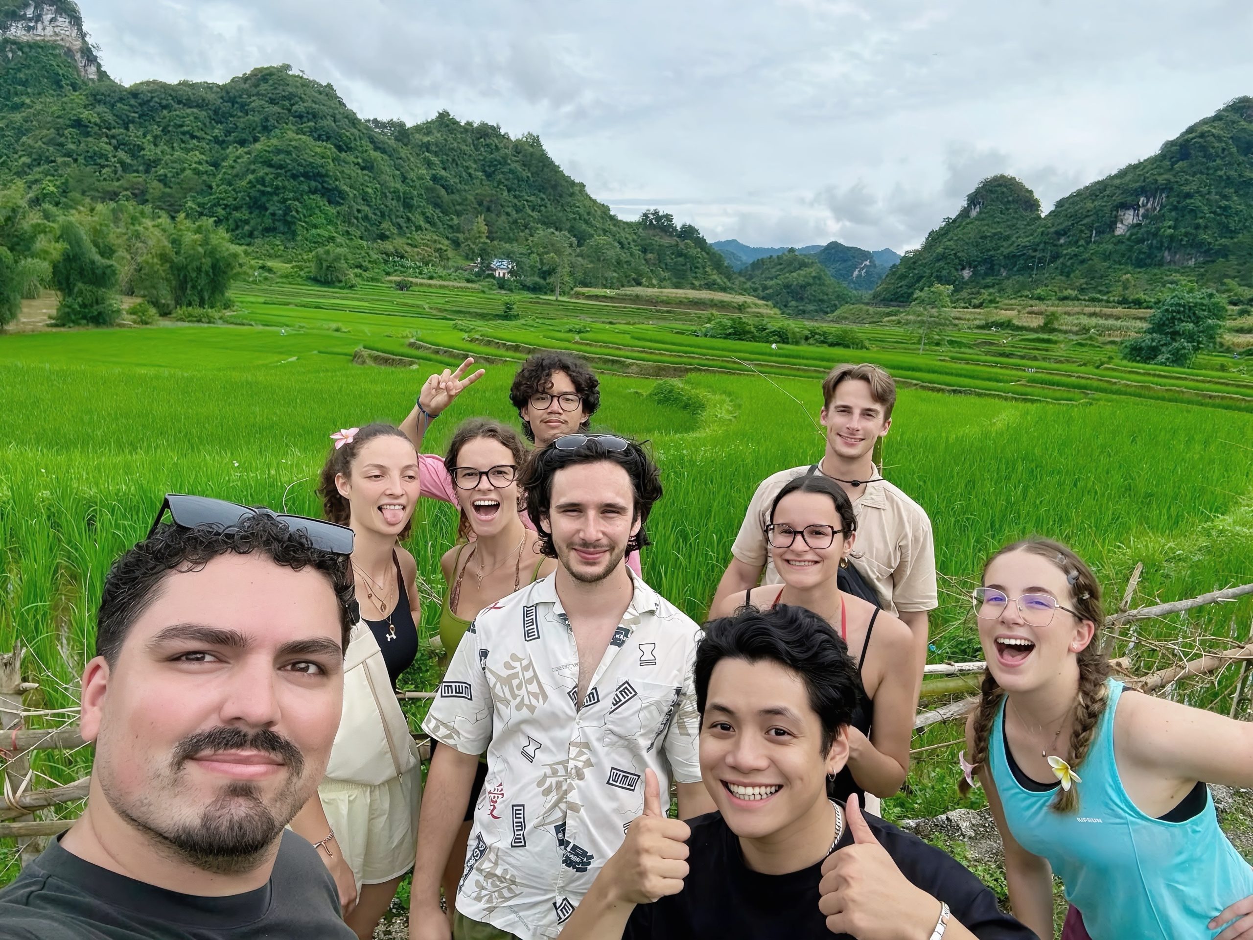
Cao Bang Rice Fields
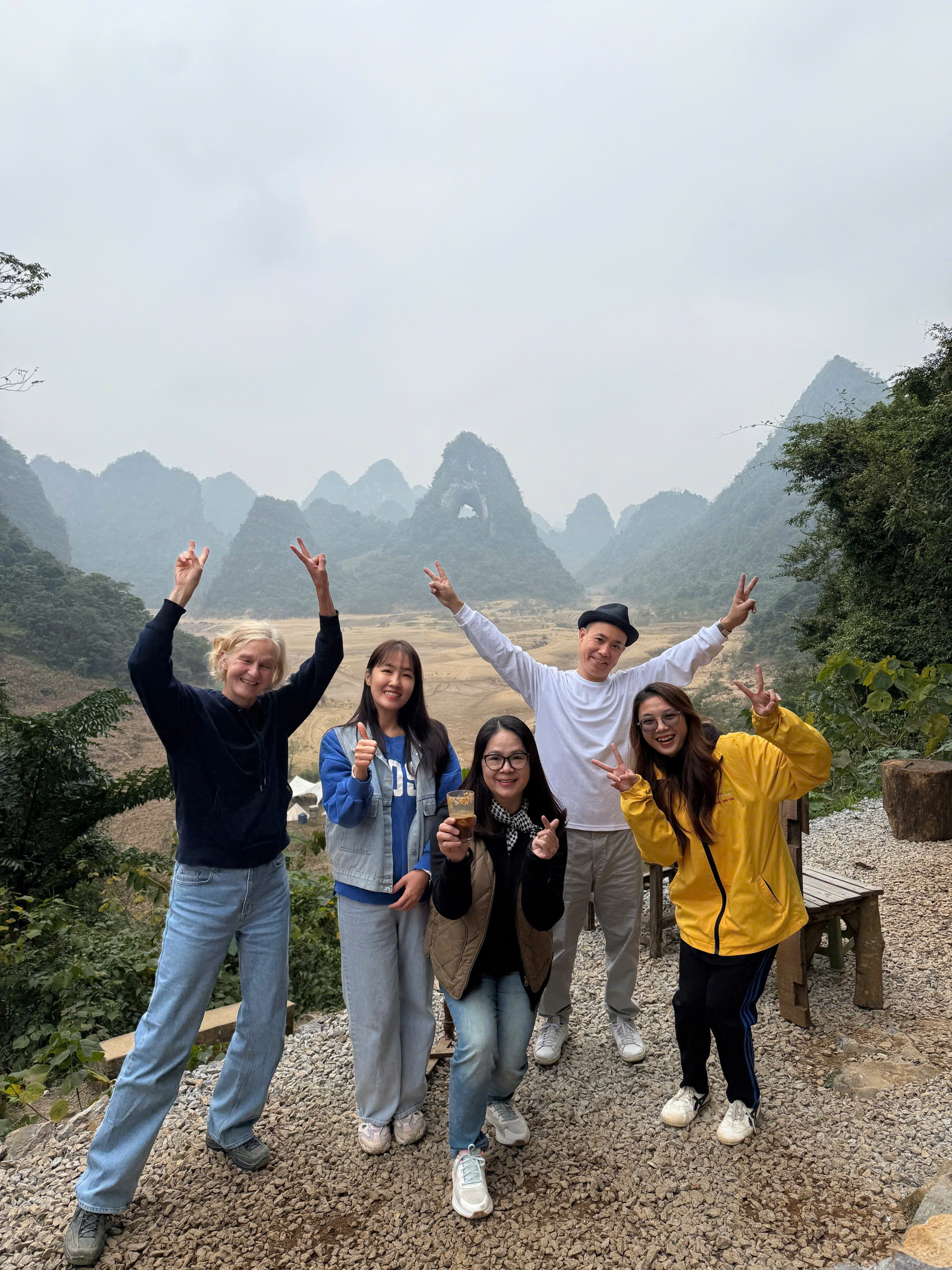
Angel Eye Mountain
Important: Road conditions in Cao Bang can change quickly because of rain, roadworks, landslides and seasonal weather. This page is a planning guide rather than a live road-status service. Before riding remote sections, check the latest local conditions.
What Are the Cao Bang Loop Road Conditions Like?
The Cao Bang Loop road conditions vary considerably depending on the route, season and type of road you choose. Main roads connecting Cao Bang City with major attractions are generally easier to travel than narrow village roads, remote mountain passes and scenic detours.
Travelers should expect a mixture of paved mountain roads, sharp bends, steep sections, village traffic, occasional potholes and smaller roads where conditions may change after heavy rain.
The Cao Bang Loop is not simply one fixed road. It is a network of routes connecting destinations such as Ban Gioc Waterfall, Angel Eye Mountain, Pac Bo, Khau Coc Cha Pass and traditional villages across the province.
For that reason, the difficulty of your journey depends heavily on the itinerary you choose.
Before planning your trip, see our
Cao Bang Loop Map
and
Cao Bang Loop itinerary guide
to understand how the different areas connect.
Cao Bang Roads at a Glance
Main routes
Mostly paved
Mostly paved
Village roads
Narrower & variable
Narrower & variable
Mountain passes
Steep & winding
Steep & winding
Rainy weather
Extra caution required
Extra caution required
Night riding
Not recommended
Not recommended
Cao Bang Loop Road Difficulty at a Glance
Not every section of the Cao Bang Loop requires the same riding experience. The following categories provide a simple planning reference rather than a permanent road-status rating.
Before riding independently, read our Cao Bang Loop Motorbike Rental guide for bike selection, safety checks, licence requirements and foreign-traveler access considerations.
EASIER
Main Roads
Major roads between Cao Bang City and district centers are generally the easiest sections of the journey.
They are still mountain roads, so travelers should expect bends, local traffic, livestock and changing visibility.
MODERATE
Scenic & Village Roads
Roads leading to viewpoints, villages and rural attractions can be narrower and less predictable.
These routes require lower speeds and extra attention at blind corners and village intersections.
MORE DEMANDING
Remote Mountain Sections
Mountain passes and remote western roads may include steep gradients, tight switchbacks and surfaces affected by weather.
Less experienced riders should consider traveling with a local Easy Rider.
Cao Bang Loop Road Conditions by Route
The following sections match the main areas commonly included in a 3-day Cao Bang Loop itinerary.
ROUTE 1
Cao Bang City → Craft Villages → Khuoi Ky
A typical eastern route begins in Cao Bang City and travels through cultural and rural areas such as Phuc Sen Blacksmith Village, Dia Tren Paper Village and Phia Thap Incense Village.
The main connecting roads are generally easier than the smaller access roads leading into villages and scenic areas.
When visiting Vinh Quy Grass Hill or other countryside viewpoints, expect narrower local roads and surfaces that may be more affected by rain.
Continue toward Khuoi Ky Stone Village for an overnight stay close to Ban Gioc and Nguom Ngao.
Local Riding Advice
✓ Reduce speed inside villages.
✓ Watch for pedestrians and livestock.
✓ Avoid relying only on estimated map travel times.
✓ Allow extra time for rural detours.
ROUTE 2
Khuoi Ky → Ban Gioc → Angel Eye Mountain
The eastern tourism corridor around Nguom Ngao Cave, Ban Gioc Waterfall and Truc Lam Ban Gioc Pagoda is one of the most popular sections of the Cao Bang Loop.
Even on paved roads, riders should remain cautious around mountain bends, tourist vehicles and local traffic.
The route toward Angel Eye Mountain and the Thang Hen area includes smaller countryside roads where conditions can become more difficult after prolonged rain.
Do not rush this section. The scenery is one of the main reasons to travel the Cao Bang Loop, and stopping regularly is part of the experience.
Watch For
✓ Wet road surfaces after rain.
✓ Blind mountain corners.
✓ Narrow access roads near scenic areas.
✓ Reduced visibility in fog or heavy rain.
ROUTE 3
Pac Bo → Khau Coc Cha Pass → Cao Bang City
Western Cao Bang offers a different riding experience from the eastern attractions.
The route around Pac Bo Historical Site combines river valleys, mountain roads and rural communities before continuing toward the more dramatic terrain around Khau Coc Cha Pass.
Khau Coc Cha is known for its series of mountain switchbacks. Riders should use controlled speeds, maintain a safe distance and avoid aggressive braking on long descents.
If rain is heavy or visibility is poor, allow additional time or adjust the route rather than trying to maintain the original schedule.
Mountain Pass Safety
✓ Use a low, controlled speed.
✓ Avoid overtaking on blind bends.
✓ Use engine braking on descents.
✓ Do not ride this section after dark.
Cao Bang Loop Road Conditions in the Rainy Season
Rain can change mountain-road conditions much faster than in lowland areas.
During or after heavy rainfall, travelers may encounter wet surfaces, mud, loose gravel, reduced visibility, fallen rocks or temporary roadworks.
Smaller village roads and remote mountain sections are generally more vulnerable than major connecting roads.
If severe weather is expected, the safest option may be to change the route, delay a section or use a private vehicle instead of self-driving a motorbike.
Seasonal weather has a major impact on riding conditions. See our Best Time to Do the Cao Bang Loop guide for month-by-month weather, rice seasons and waterfall conditions.
Before departure, travelers can contact BOSS Travel for local route information:
WhatsApp +84 888 106 000.
After Heavy Rain
⚠ Slow down significantly.
⚠ Avoid sudden braking.
⚠ Expect loose gravel or mud.
⚠ Be careful near road edges.
⚠ Avoid riding after sunset.
⚠ Change the route if local conditions are unsafe.
How the Seasons Affect Cao Bang Loop Roads
Spring
March – May
Pleasant temperatures are common, but rain can gradually increase later in the season.
Summer
June – August
Lush landscapes and strong waterfalls, but heavier rainfall can affect mountain and village roads.
Autumn
September – November
Often popular for clearer mountain views and beautiful rice-field scenery.
Winter
December – February
Generally cooler and drier, but mountain temperatures can be cold and fog may reduce visibility.
Self-Drive or Easy Rider on the Cao Bang Loop?
Road conditions are only one part of the decision. Your riding experience, legal driving requirements, weather and confidence on mountain roads are equally important.
Self-Drive Motorbike
Best suited to experienced riders who are comfortable with mountain roads, tight bends, variable surfaces and changing weather.
Travelers should also make sure they meet applicable licence and insurance requirements.
Easy Rider
A local driver handles the motorcycle while you travel as a passenger.
This allows travelers to enjoy mountain scenery without managing unfamiliar roads, navigation or difficult sections themselves.
Explore Motorbike & Easy Rider ToursPrivate Vehicle
A strong option during poor weather or for travelers who prefer greater comfort and protection from rain.
It is also suitable for couples, families and travelers carrying more luggage.
Cao Bang Loop Motorbike Safety Checklist
Before beginning a multi-day journey, check both your motorcycle and personal equipment.
✓ Brakes operating correctly
✓ Tyres in good condition
✓ Headlight and indicators working
✓ Enough fuel for the next section
✓ Helmet correctly fitted
✓ Rain jacket available
✓ Phone fully charged
✓ Offline maps downloaded
✓ Water and basic supplies
✓ Emergency contact available
Most Important Rule
Do not ride faster than the road you can see.
Mountain corners can hide vehicles, livestock, pedestrians, gravel or damaged surfaces.
A slower pace also gives you more time to enjoy what makes the Cao Bang Loop special.
Road conditions can affect how far you should travel each day. Read our Where to Stay on the Cao Bang Loop guide to choose practical overnight areas that match your route and riding conditions.
What Should You Do If Road Conditions Become Unsafe?
The itinerary should always be flexible. Completing every planned attraction is less important than traveling safely.
1. Slow Down
Reduce speed immediately when surfaces, visibility or traffic conditions deteriorate.
2. Stop Safely
If visibility becomes poor, find a safe location rather than continuing blindly.
3. Change Route
Use a main road instead of a remote scenic detour when local conditions are uncertain.
4. Ask Locally
Local drivers, accommodation providers and tour operators may know about recent road changes.
Need the Latest Cao Bang Road Advice?
Road conditions can change after storms, construction or landslides. Contact BOSS Travel before your trip if you need local advice about your planned Cao Bang Loop route.
If you are traveling from Hanoi, read our Hanoi to Cao Bang Loop guide for sleeper bus, limousine and private transfer options before starting the mountain route.
BOSS Travel – Local Tour Operator in Cao Bang WhatsApp: +84 888 106 000
Plan Your Cao Bang Loop
Continue planning your journey with our local Cao Bang Loop guides and recommended tours.
Cao Bang Loop
Complete planning guide covering routes, attractions and travel options.
Complete Loop GuideCao Bang Loop Map
See the main attractions and how the routes connect across Cao Bang.
View Route Map3-Day Motorbike Tour
Explore Cao Bang with a local motorbike driver and a ready-planned route.
View 3-Day TourCao Bang Loop Road Conditions FAQs
Are the roads on the Cao Bang Loop paved?
Many of the main routes are paved, but the Cao Bang Loop also includes smaller village roads, mountain passes and scenic access roads where surfaces can vary. Conditions may also change because of weather and construction.
Is the Cao Bang Loop safe for beginners?
Travelers with little or no mountain motorbike experience should be cautious about self-driving. An Easy Rider or private vehicle allows beginners to experience the route without needing to manage unfamiliar mountain roads themselves.
Can I ride the Cao Bang Loop during the rainy season?
Travel is possible during parts of the rainy season, but heavy rain can create wet roads, mud, loose gravel, reduced visibility and temporary route problems. Always check local conditions before entering remote sections.
Is Khau Coc Cha Pass difficult to ride?
Khau Coc Cha includes multiple steep mountain switchbacks and requires controlled riding. Riders should use lower speeds, avoid overtaking on blind bends and take extra care in wet or foggy conditions.
Should I choose an Easy Rider for the Cao Bang Loop?
An Easy Rider is a practical choice for travelers who want the motorbike experience without self-driving. Local drivers are also familiar with the routes and can adapt the journey if conditions change.
How can I check the latest Cao Bang Loop road conditions?
Because road conditions can change quickly, check recent weather reports and ask local accommodation providers, drivers or tour operators before departure. BOSS Travel is based in Cao Bang and can provide local route advice for travelers planning a tour.
Explore Cao Bang Safely with a Local Team
Travel by motorbike, Easy Rider or private vehicle with flexible routes designed around your time, experience and current local conditions.
If you are comparing northern Vietnam’s mountain routes, read our Cao Bang Loop vs Ha Giang Loop guide to understand the differences in road difficulty, scenery, crowds and travel style.
Planning the route safely is important, but so is setting the right budget. Read our Cao Bang Loop cost guide for estimated expenses including motorbike rental, fuel, accommodation, food and entrance fees
Road conditions should influence how you choose to travel. Read our Cao Bang Loop Self Drive vs Easy Rider guide to compare riding responsibility, safety, comfort and local driver support.